
Description
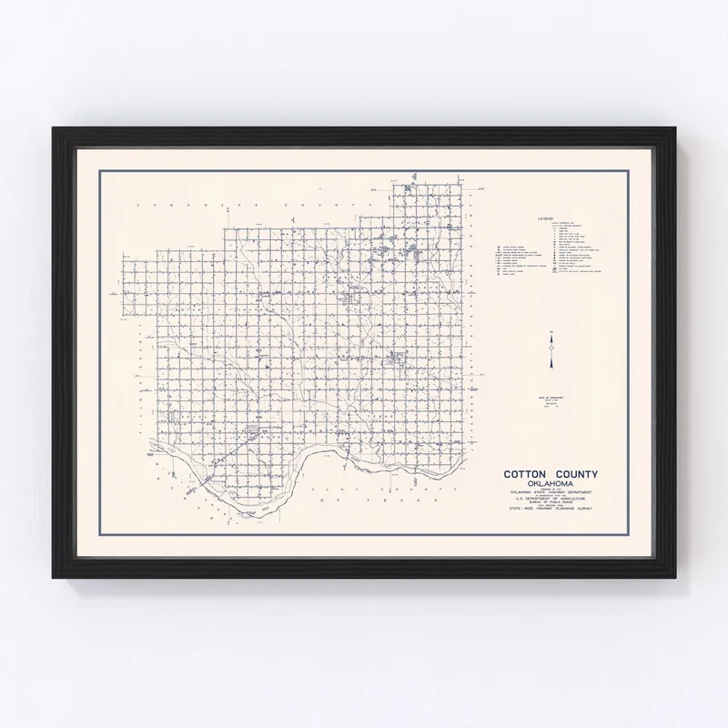
Discover a piece of local history with our beautifully restored 1936 vintage map of Cotton County, Oklahoma. This exquisite map print brings to life the intricate details and nostalgia of places like Walters and Temple, making it a true treasure for anyone appreciative of historical charm. Whether you’re adorning your living room or adding character to your office, this map serves as an elegant conversation piece that honors the rich past of Cotton County.
Our commitment to quality is evident in every handmade element. Choose from framed options boasting solid wood stained frames that provide sophistication or unframed versions printed on premium matte paper for versatility. For those who prefer canvas, enjoy the tactile appeal of polycotton stretched over robust wood bars, ready to hang straight out of the box.
This vintage map is more than just decor; it’s a thoughtful gift idea for history enthusiasts and proud residents alike. Capture the spirit of Oklahoma’s past with this classic addition to any setting.
Reviews
There are no reviews yet.